Home >> Industries >>
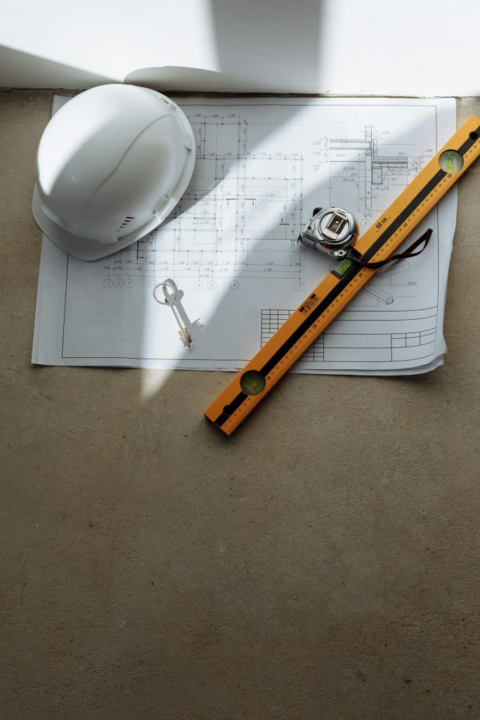
Architecture, Engineering and Construction

Architecture, Engineering and Construction
Explore how we help build with accuracy, from concept to reality.
The Architecture, Engineering and Construction (AEC) sector depends on accurate data, smart workflows, and seamless collaboration. Our services ensure that complex designs are transformed into reality with confidence, quality, and efficiency. By combining expertise with digital tools, we help partners reduce risk, save time, and improve results across every project stage.
Partnering with us means access to tailored solutions that bridge traditional surveying with innovative digital approaches. From precise engineering surveys to BIM and digital documentation, we empower AEC stakeholders to plan, design, and deliver with certainty. Together, we build not only structures but also trust, resilience, and sustainable value for the future.
Transformation in action
VENTIIS for the AEC industry
Architecture & Design
Landscape Architecture
Urban Planning
Construction
Public Infrastructure
Tailored solutions
Our areas of competence
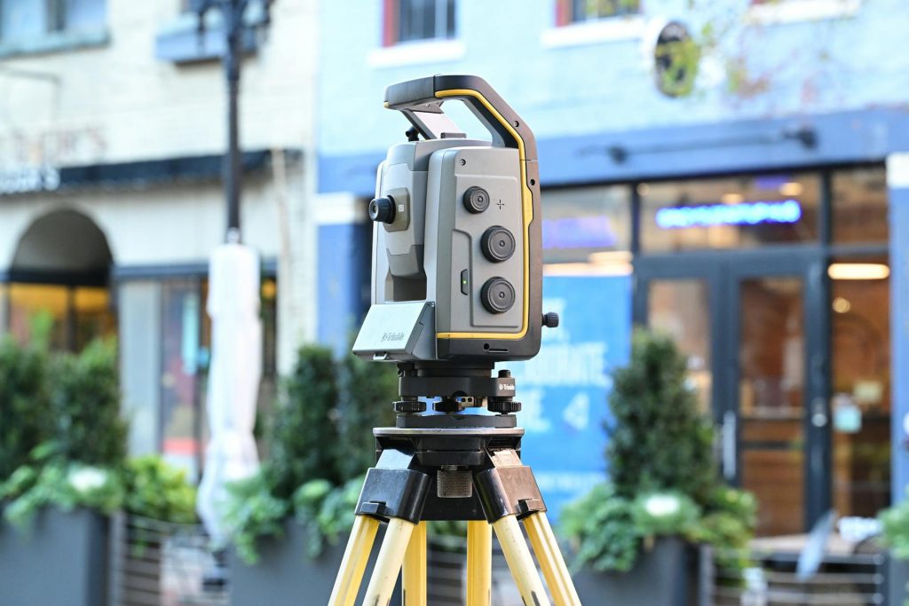
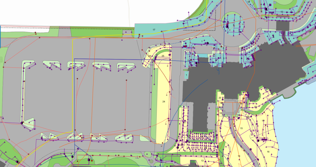
Engineering Survey
- Architectural Surveying
- As-built surveys and final surveying
- Deformation measurements and analysis
More Info +
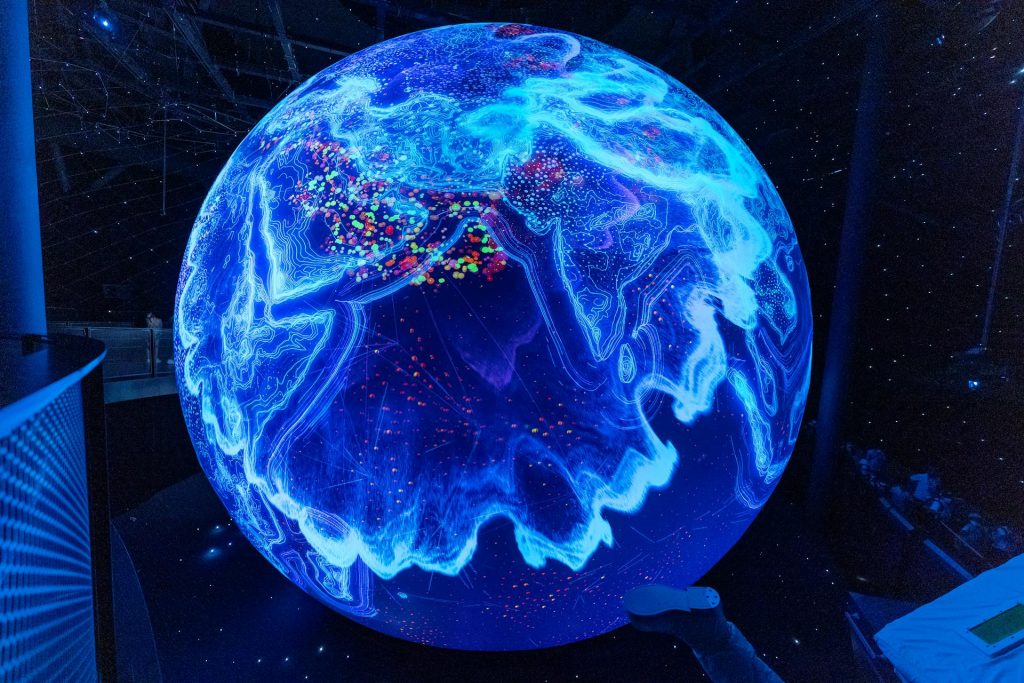
Geographic Information System
- GIS database design and setup
- WebGIS Solutions
- Geodata management and visualization
More Info +

Consulting
- Feasibility studies and technical assessments
- Workflow optimization and digital transformation
- Tailored consulting for surveying and geoinformatics projects
More Info +
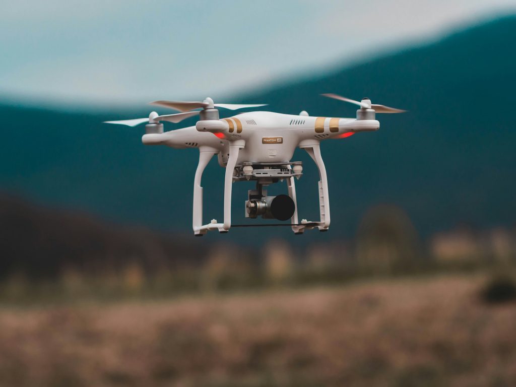
UAV & Drone Surveys
- UAV photogrammetry and orthophotos
- 3D terrain and surface modelling
- Change detection and monitoring
More Info +
Digitalization and Documentation
- Data capture and digitization
- Structured digital records and archives
- Digital workflows for project management
More Info +
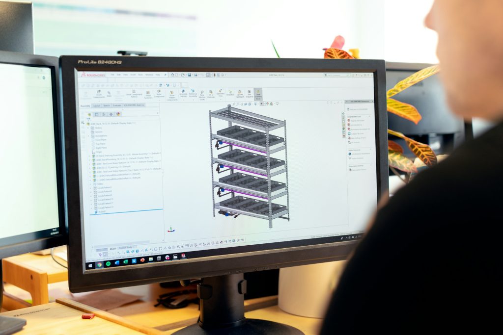
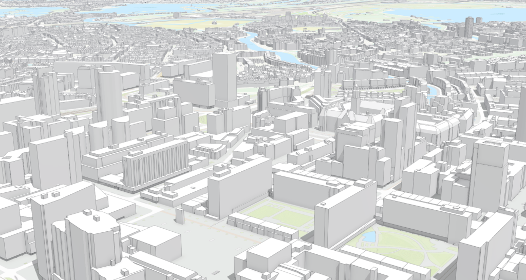
Building Information Modelling
- 3D modelling of buildings and infrastructure
- Clash detection and quality control
- Visualization and simulation support
More Info +
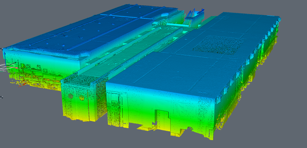
3D Laser Scanning
- Terrestrial and mobile laser scanning
- 3D modelling of structures and terrain
- Deformation analysis
More Info +

Automation and Innovation
- Data processing workflow conception, automation and implementation
- Integration of AI and smart tools
- Custom development of innovative surveying soft-tools