Transforming complexity into clarity, driven by innovation today for a sustainable tomorrow.
Who are we
VENTIIS experts – your reliable partners.
Partnering with us means more than just getting the job done – it means unlocking the full potential of your projects through deep expertise, experience, and a commitment to excellence.

What we do
Expertise at a glance
Our team’s expertise spans multiple disciplines, allowing us to deliver comprehensive solutions that drive progress, enhance efficiency, and empower our clients to achieve their goals.
We embrace forward-thinking strategies and the cutting-edge technologies to ensure every project meets the highest standards of quality and reliability.
Engineering Survey
The science of providing precise measurements and layouts that form the foundation of safe and successful construction projects.
Consulting
Your reliable partner in transforming complex challenges into tailored solutions through expert guidance and strategic planning.
Building Information Modelling
The foundation of virtual intelligent models that connect design, construction, and management for more efficient building processes
Geographic Information System
A always necessary tool to turn spatial data into actionable insights, enabling better decisions through analysis and visualization.
UAV & Drone Surveys
Cutting-edge technologies to capture fast, detailed, and cost-effective aerial data for mapping, monitoring, and analysis.
3D Laser Scanning
Attention to the smallest detail on delivering ultra-precise digital replicas of objects and environments for documentation, modelling, and planning.
Virtual Mapping
Virtual Mapping is the creation of accurate digital representations of real-world spaces, both indoors and outdoors, to support planning, visualization, and analysis.
Digitalization and Documentation
As-Built documentation is an important step to convert physical information into reliable digital records, ensuring accuracy, accessibility, and long-term value.
Automation and Innovation
Driving forward-thinking solutions that combine expertise with new technologies to create lasting impact.
Who we help
Industries we serve


What we offer
Key Benefits
Multidisciplinary Expertise
Our experienced experts in various disciplines can deal with complex projects in all areas, providing holistic solutions tailored to your needs.
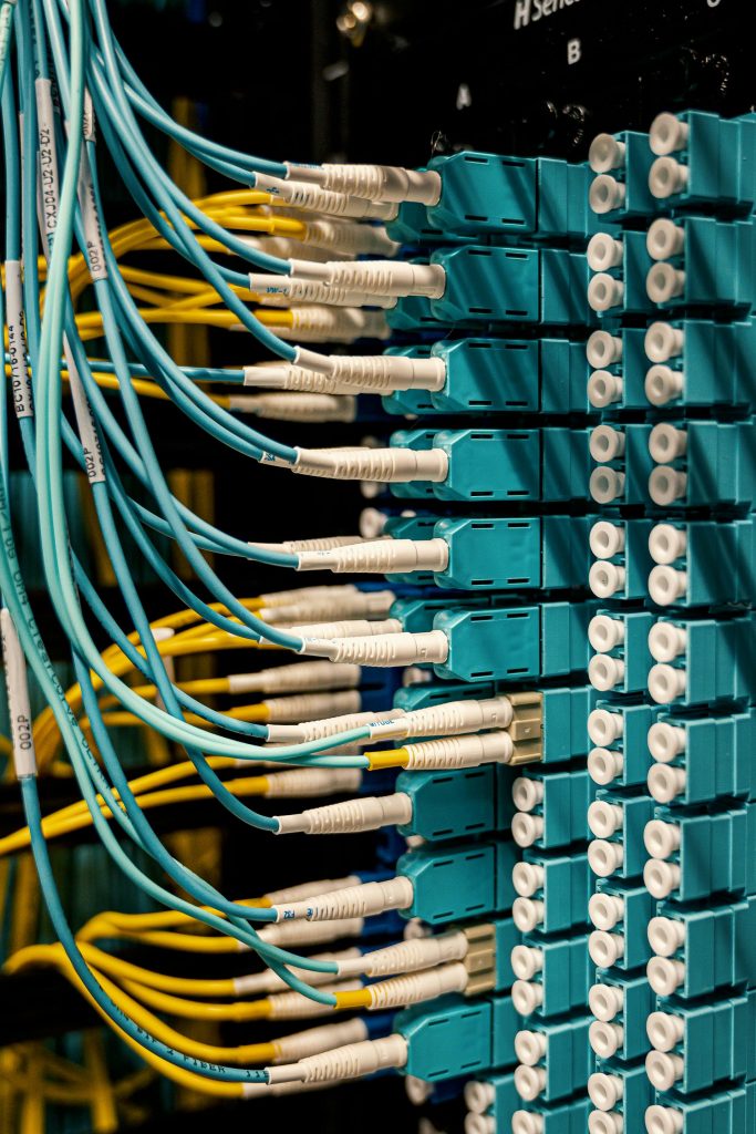
State-of-the-art technologies
We leverage the latest techniques to enable your projects for more simplified, accurate, and efficient results.
Flexibility and fast response times
Count on our team for transparent coordination and responsive project assistance.
Timely and Reliable Delivery
Our streamlined processes ensure your project is completed within schedule without compromising quality.