Home >> Expertise >>
UAV & Drone Surveys

UAV & Drone Surveys
We capture the bigger picture from above.
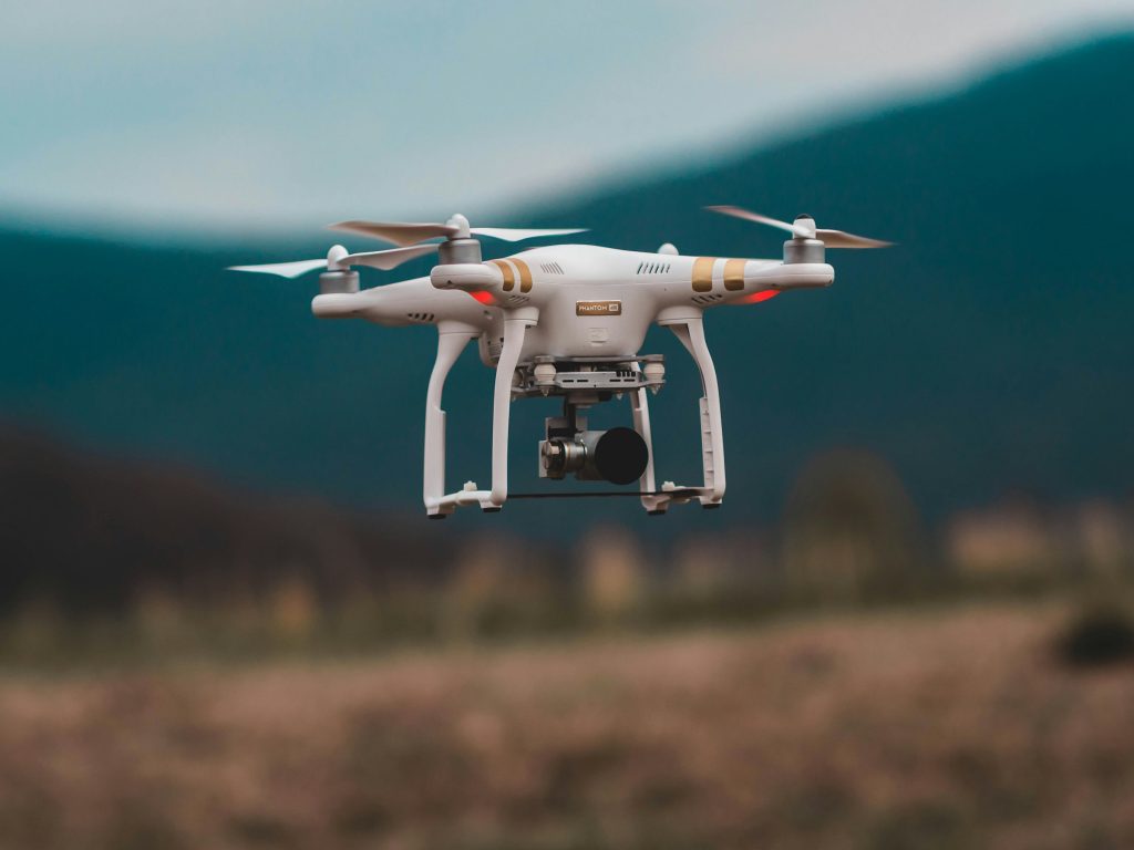
UAV and drone surveys provide a fast, efficient, and cost-effective way to collect precise aerial data. They open new possibilities in mapping, monitoring, and documenting terrain or structures safely and at scale.
At Ventiis, we use state-of-the-art drone technology to deliver reliable aerial surveys. From orthophotos to 3D models, our UAV solutions give you detailed, accurate, and versatile data that supports a wide range of applications.
Our Services
- UAV photogrammetry and orthophotos
- LiDAR drone scanning
- 3D terrain and surface modelling
- Stockpile and volume calculations
- Change detection and monitoring