Home >> Industries >>
Transportation and Infrastructure

Transportation and Infrastructure
Explore how we help to keep mobility on the right track.
Transportation and infrastructure are the lifelines of modern society, demanding precision, safety, and resilience. We provide the data and digital models needed to plan, build, and maintain infrastructure efficiently. Our expertise ensures projects are executed accurately, supporting smoother operations and better long-term outcomes for communities and industries alike.
With innovative technologies and forward-thinking methods, we deliver solutions that enhance decision-making and reduce risks. From corridor mapping to real-time monitoring, we ensure that infrastructure projects remain sustainable, efficient, and adaptable. By combining engineering know-how with digital transformation, we help keep people and goods moving with clarity and confidence.
Transformation in action
VENTIIS for transportation and infrastructure industry
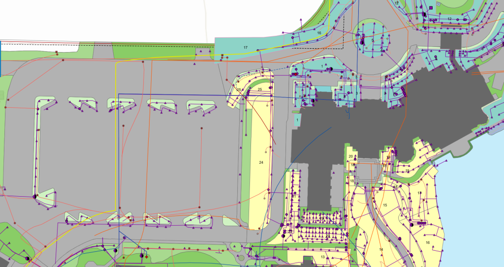
Roads and Highways
Tunnels and Bridges
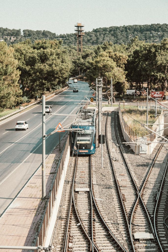
Rail transport
Public transport
Tailored solutions
Our areas of competence
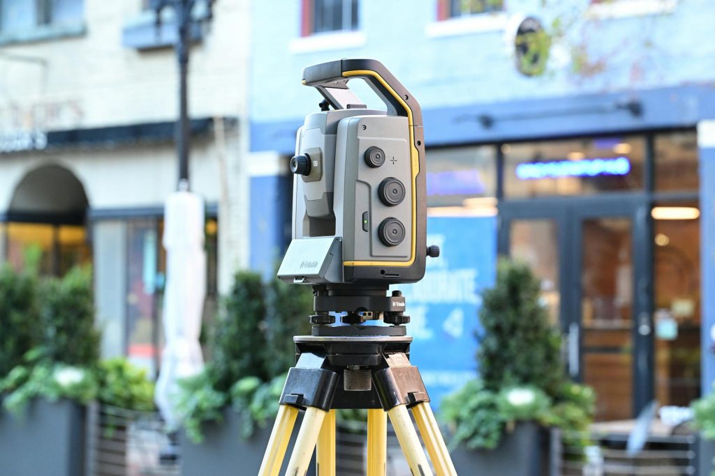
Engineering Survey
- Architectural Surveying
- As-built surveys and final surveying
- Deformation measurements and analysis
More Info +

Geographic Information System
- GIS database design and setup
- WebGIS Solutions
- Geodata management and visualization
More Info +

Consulting
- Feasibility studies and technical assessments
- Workflow optimization and digital transformation
- Tailored consulting for surveying and geoinformatics projects
More Info +
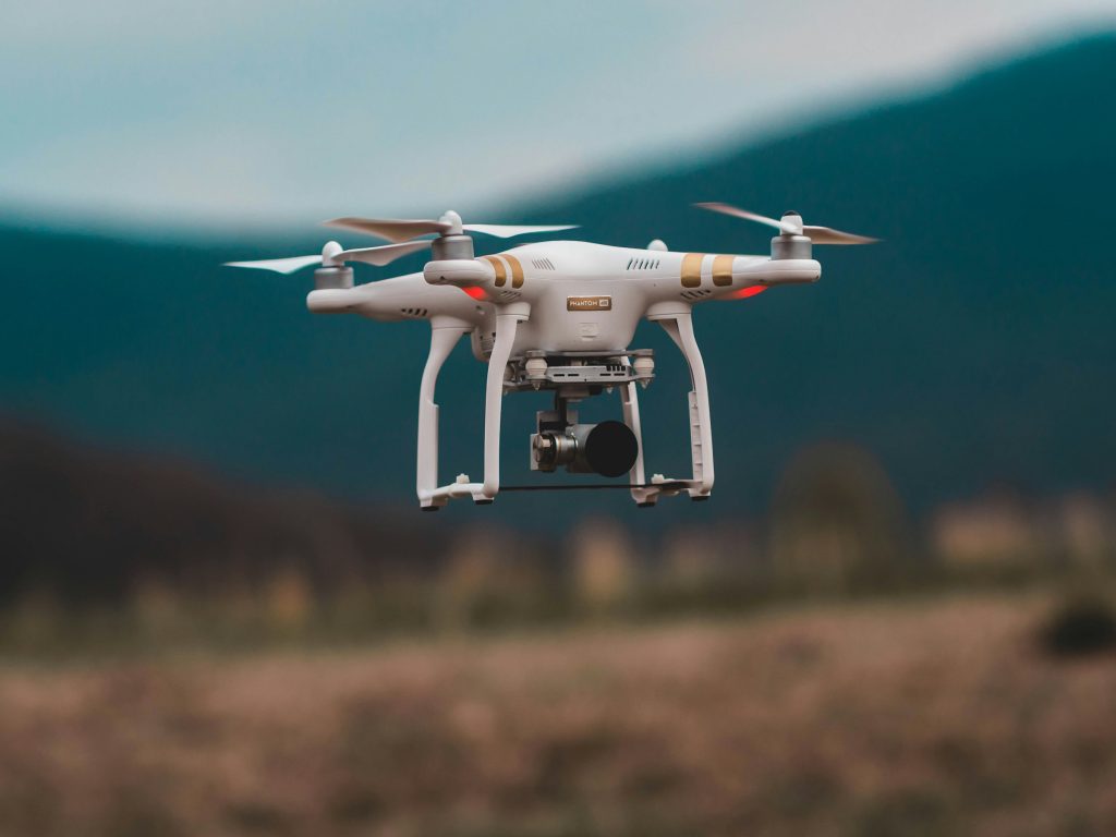
UAV & Drone Surveys
- UAV photogrammetry and orthophotos
- 3D terrain and surface modelling
- Change detection and monitoring
More Info +
Digitalization and Documentation
- Data capture and digitization
- Structured digital records and archives
- Digital workflows for project management
More Info +
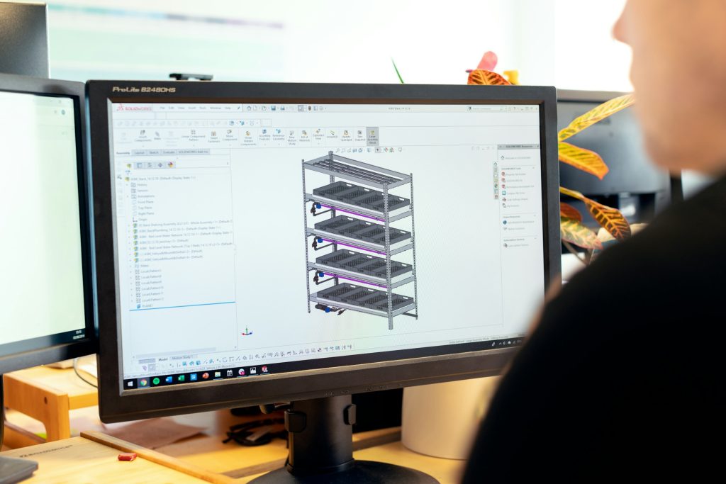
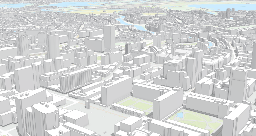
Building Information Modelling
- 3D modelling of buildings and infrastructure
- Clash detection and quality control
- Visualization and simulation support
More Info +
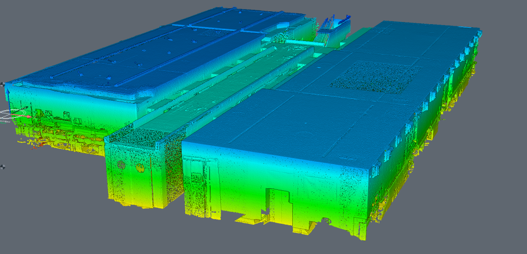
3D Laser Scanning
- Terrestrial and mobile laser scanning
- 3D modelling of structures and terrain
- Deformation analysis
More Info +

Automation and Innovation
- Data processing workflow conception, automation and implementation
- Integration of AI and smart tools
- Custom development of innovative surveying soft-tools