Surveying data that keeps your Project on Time and on Budget
Accurate engineering surveys, 3D laser scanning, and UAV data — delivered fast, compliant, and ready for your CAD, BIM, and GIS workflows
Reduce costly rework and planning errors
Seamless integration into BIM, CAD & GIS
Fast turnaround with reliable, validated data
Free initial assessment for your project within 48 hours!
Why inaccurate surveying data becomes expensive
Inaccurate or incomplete surveying data is one of the most common causes of project delays, cost overruns, and on-site conflicts.
Design conflicts discovered too late
Costly rework during construction
Delays caused by missing or unreliable data
Disputes between planners, contractors, and stakeholders
These issues are rarely caused by poor planning – they start with incomplete data.
We help you minimize risk, beforehand
Instead of reacting to problems on site, we help you prevent them — with accurate engineering surveys, 3D laser scanning, and UAV data you can trust from day one.
Minimize construction and planning risks with reliable data
Avoid costly corrections and on-site changes
Keep schedules on track with fast, accurate deliverables
Seamless integration into BIM, CAD, and GIS workflows
Data delivered in formats your team can use immediately.
Services, that will advance your project
As-built surveys and Deformation analysis
3D modelling of buildings and infrastructure
3D terrain and surface modelling
Terrestrial and mobile laser scanning
BIM Modelling
Geodata management and WebGIS Solutions
Virtual 360° Tours and digital twins
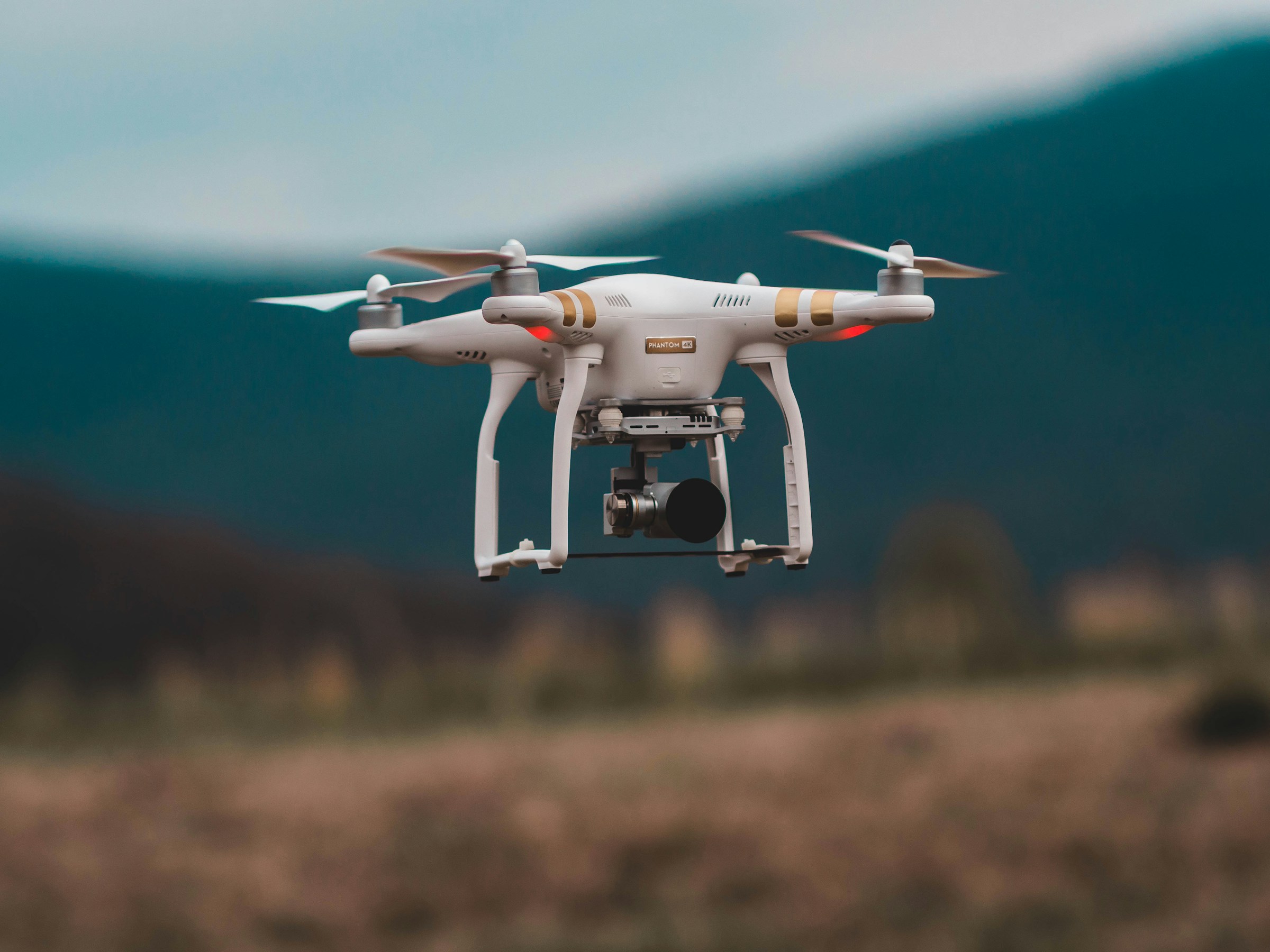
UAV photogrammetry and orthophotos
Data capture and digitization
Workflow optimization and digital transformation
Tailored consulting for surveying and geoinformatics projects
Data processing workflow conception, automation and implementation
Integration of AI and smart tools
Custom development of innovative surveying soft-tools

Precise Solutions
Everywhere, where reliable data is critical
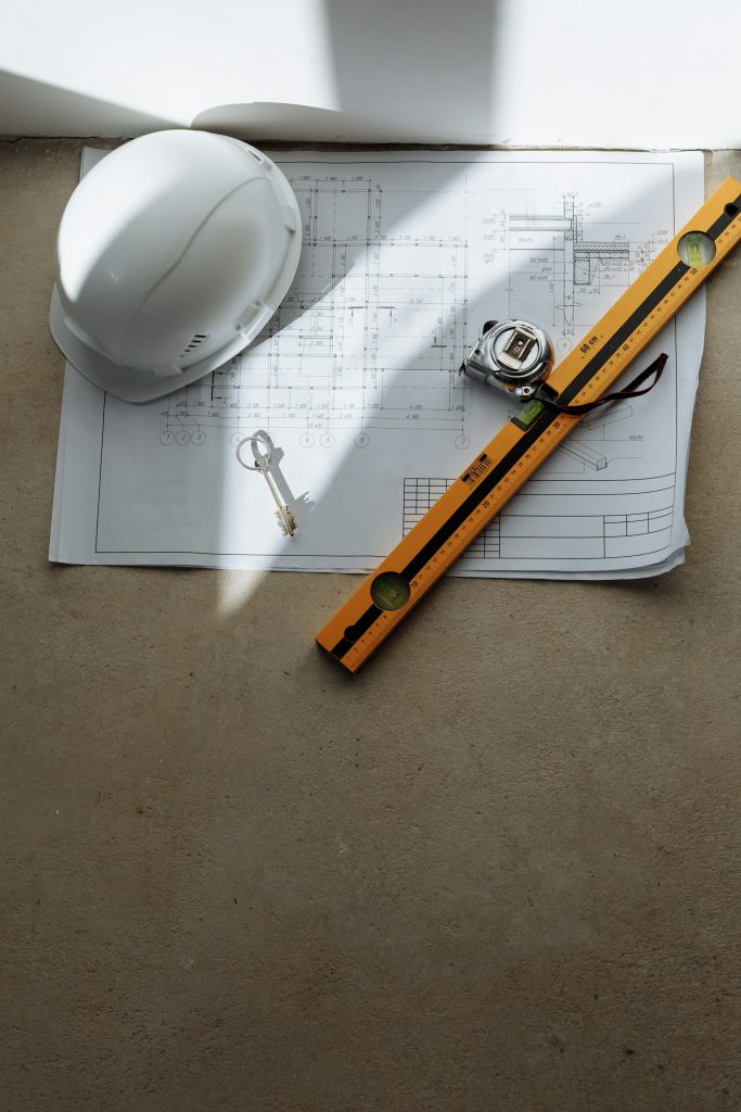
Architecture, Engineering and Construction
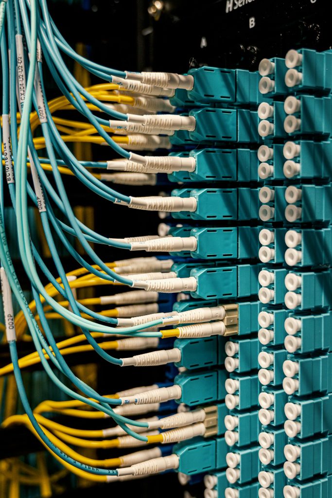
Telecommunication
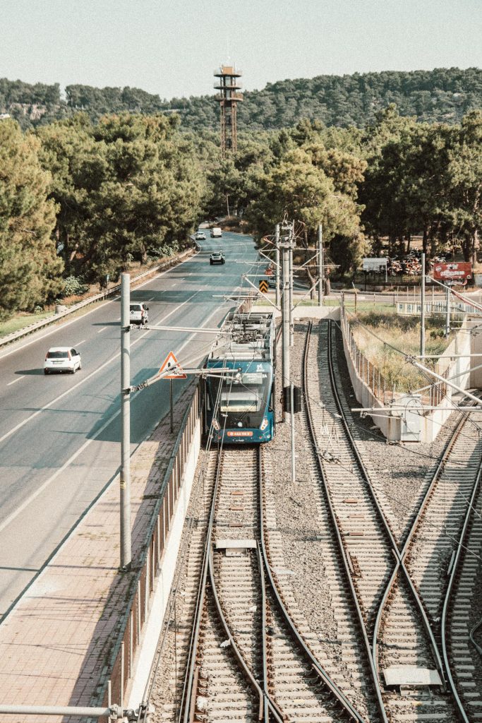
Transportation and Infrastructure
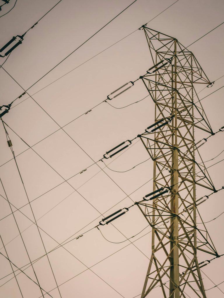
Energy, Utilities and Industry

Heritage
How it works?
STEP 1
Send inquiry
STEP 2
Free feasibility review of your project
STEP 3
Method & scope recommendation
STEP 4
Data transfer & acquisition
STEP 5
Data preprocessing & quality control
STEP 6
Delivery of ready-to-use results
FAQs – Frequently Asked Questions
What is 3D laser scanning and how does it work?
3D laser scanning captures an object or structure with high precision and without physical contact. The scanner emits laser-based measurement points that are processed into a so-called point cloud – a dense 3D representation of the existing structure, which serves as the basis for CAD and BIM models.
Why is laser scanning useful for my project?
3D laser scanning provides precise inventory data that is indispensable for planning, analysis, renovation or conversion – especially when plans are missing or outdated, structures are complex or high accuracy requirements are needed.
Do I need to be present for the survey?
That’s not necessary. You can provide existing inventory data – or we can carry out the survey on-site for you, depending on the project requirements and data availability. This is done quickly, precisely, and with minimal disruption.
What data formats will I ultimately receive?
You will receive the results in common, processable formats – e.g. point clouds (.E57, .LAZ), CAD drawings (DWG/DXF), BIM models (Revit, ArchiCAD, IFC) or other project-related formats.
What will happen to my data?
All data is treated confidentially and processed on a project-specific basis. Depending on your preference, we can provide you with the results via secure download links, cloud transfer, or direct data export.
How long does a project take?
The duration depends on the object’s size, complexity, and desired level of detail. Smaller objects can be captured in one day, while larger projects require correspondingly more time – we will provide exact dates after the project has been defined.
How much does a 3D laser scanning project cost?
Costs vary depending on the size of the object, its accessibility, the required accuracy, and the output formats. For a customized and transparent quote, we analyze your project beforehand and create a tailored estimate.
How accurate are the scan results?
Modern 3D laser scanners generate measurement data accurate to the millimeter or centimeter. The exact accuracy range depends on the device used and the project requirements, but is agreed upon in advance.
Do rooms or facilities need to be vacated beforehand?
In most cases, a complete emptying is not necessary. Furniture or fixtures do not significantly interfere with the data collection – we collect data efficiently even in occupied apartments or active industrial plants with minimal impact on operations.
How can I request a project quote?
It’s very simple: Contact us via the inquiry form or by email. We will get back to you shortly to discuss the next steps.